|
This summer I am taking no 1 son round the villages of Charnwood , armed only with a number of cameras and my 1997 edition of Pevsner's Leicestershire and Rutland volume on The buildings of England. Today we were at the most Westerly point in our study area: Kirby Muxloe. I must say the parking and signage was awful, with the castle car park rather unexpecdedly locked up., as was the main site itself although the oath round the moat was accessible so we got some good shots of the extant brick work and some nice diaper examples. was able to measure the bricks at the entrence: 235x115 x58 mm (9 1/3 × 4 1/2 × 2 1/3 inches) nicely in the same ball park as most of the Bradgate ones the ones here should date to 1480 , compared to 1490 for Bradgate. I Couldnt really check the brick fabric but nothing too different presenred itself. Elsewhere in the village the chuch was locked so could only really see the restored 1847/56 (and 21st century) fabric rather than the c.1300 nave i was hoping to see. there were also some nice buildings on main street but didnt have time to check out the 19th century ones or the school mentioned in Pevsner 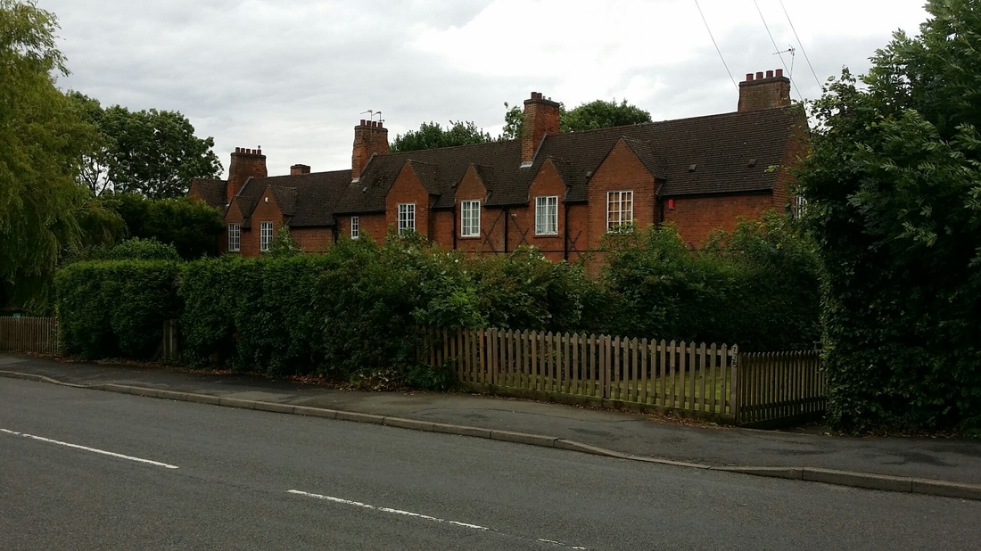 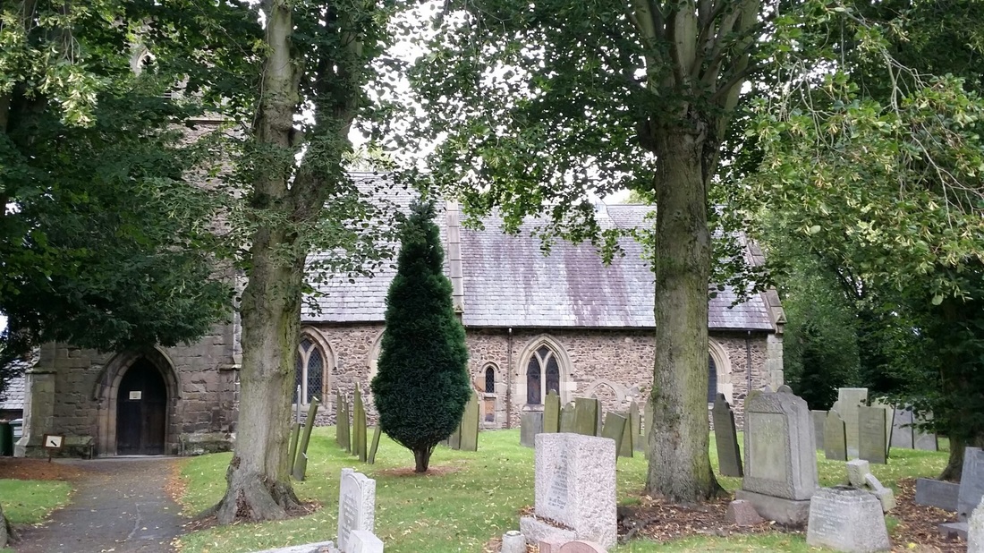 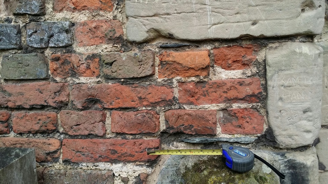 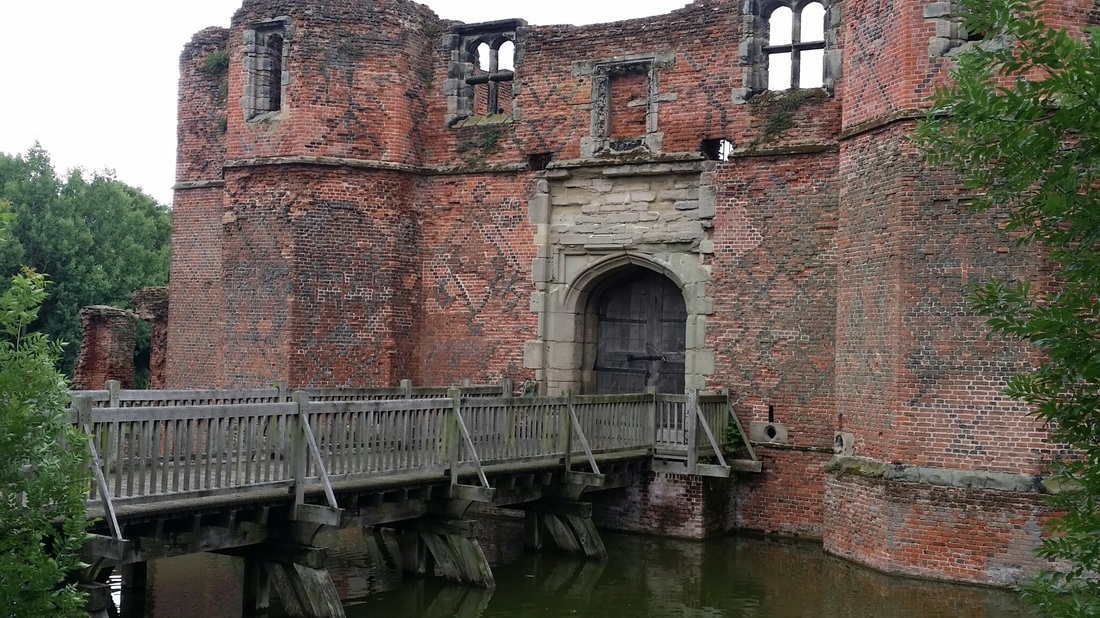 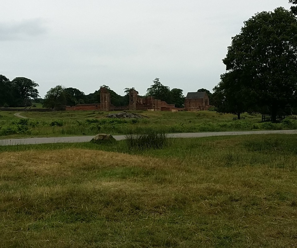 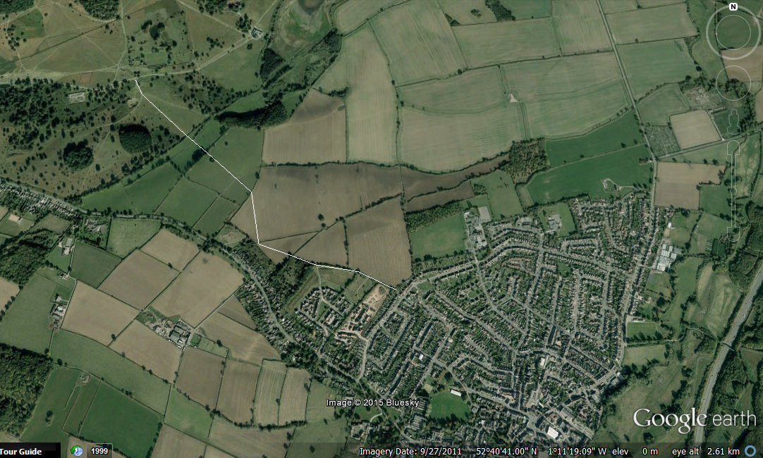 I have spent the last couple of weeks at Bradgate park, looking at mainly C16th century brick, but there was a small amount of possible Roman material – adding nicely to the Roman tile my son found in the park a couple of years ago. The nearest car park is in Newtown Linford, up the road from the village where I live, but in fact it is a lot quicker to walk to the ruins from my house ‘ across the fields’. Thanks to the National Library of Scotland we can see that this foot path on the 19th century OS maps: http://maps.nls.uk/geo/find/#zoom=13&lat=52.6857&lon=-1.1875&layers=6&point=-1.2084,52.6817 This path is shown here thanks to the magic of google earth: This path is mentioned in Stephen Lyett’s note (1999 New light on a suspected road between Ratcliffe on Soar and Leicester Trans. Leicestershire Archaeol and Hist. soc, 73 pp 72 – 79) on a possible Roman road/ ancient route. This lines up reasonable well with Anstey lane going towards Leicester and its North gate. Beyond Bradgate path there is a suspiciously straight road to Shepshed Here I have plotted existing lines from Leicester ( I have plotted on the Roman street grid , following Wachers’ Towns of Roman Britain) to Shepshed. Hopefully one day we will see this confirmed as a Roman – or even earlier! - route 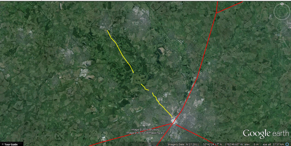 |
Phil MillsI am a finds specialist, working on Roman and Medeival CBM as well as Roman pottery. I a based in Britain but work all over the area of the ancient classical world, including, to date, Lebanon, Syria,Bulgaria Tunisia and Italy Categories
All

Archives
February 2017
|
| Archaeological Tile Brick and Pot |
|
 RSS Feed
